Falknisspitz hike from Oberst See: Top Highlights (early July Edition)
DETAILS*
Duration: 1h 50min including all breaks
Difficulty: 
Distance: 4.3 km point-to-point
Ascent: 508 m
Descent: 508 m
The highest point: 2551 m above sea level
OUR EXPERIENCE:

Starting and end point:
We did a quick morning hike to Falknisspitz before breakfast, starting and ending at our tent at Oberst See (please see our hike description here).
Itinerary:
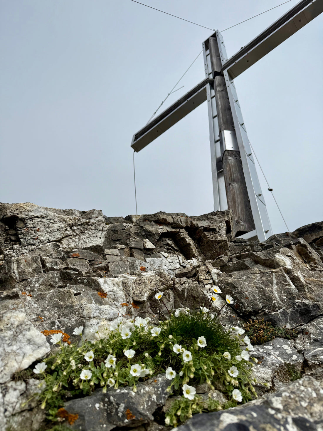
We hiked up to Falknisspitz (2551 m above sea level).
We could have done it on our Saturday hike up to Oberst See, but since we were with family, we preferred to relax and swim in the lake instead.
The next morning, we started the day with Basler Drip Coffee and headed up to Falknisspitz before breakfast. The trail is steep but not difficult. Towards the end, it’s mostly rocky, but you don’t need to use your hands to climb.


There is literally no space for a tent at the top. The last camping-friendly spot is at the junction with the white-blue path at Flascher Furggli. From there, the sign shows 1 hour to the summit, but we managed to do it in just 60 minutes from Oberst See.

The views are incredible — both across the valley with lakes and, on the other side, over the Rhine. We saw just one paraglider, but in better conditions, we would probably have seen many more.


Specific season conditions:
Due to the night rain, it was muddy and slippery on the rocks, however, it is not a dangerous path.
Highlights:
The Flaknisspitz lies at the boarder of Switzerland and Lichtenstein.
You have incredible views on the Oberst See, Lichteinstein, and Rhein valley.
There were a lot of ibexes on the way up, and due to the rainy conditions we have meet the black Salamandra.
*supported by Garmin and SchweizMobil
